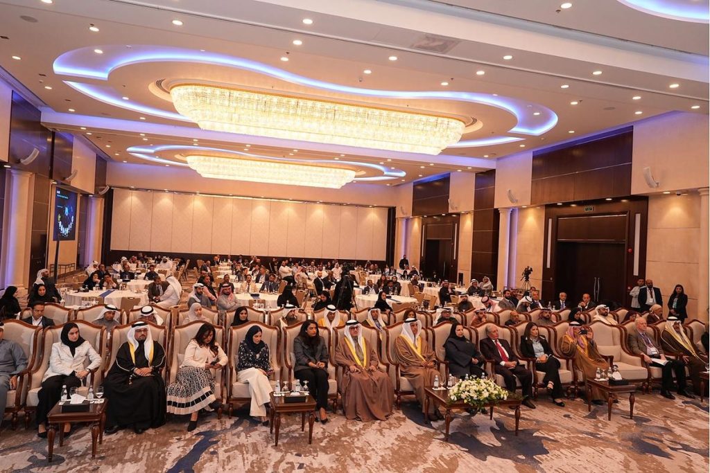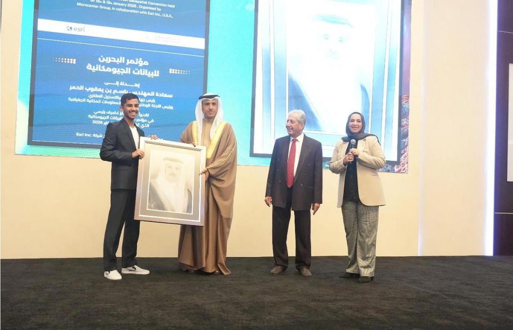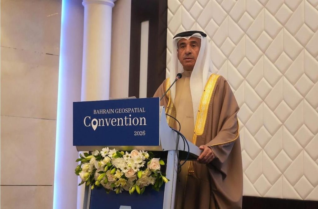
The activities of the Bahrain Geospatial Data Conference 2026 kicked off today in the presence of His Excellency Engineer Basim bin Yaqoub Al Hamer, President of the Survey and Land Registration Bureau (SLRB), alongside a number of senior officials from the public and private sectors, with the participation of more than 250 specialists and interested professionals.
The conference is organized by MicroCenter in cooperation with Esri, under the theme “Empowering Bahrain’s Vision through Geospatial Information Systems Innovations.” The event comes as part of national efforts to enhance the use of geospatial technologies in support of digital transformation and sustainable development, in line with the objectives of Bahrain Economic Vision 2030.
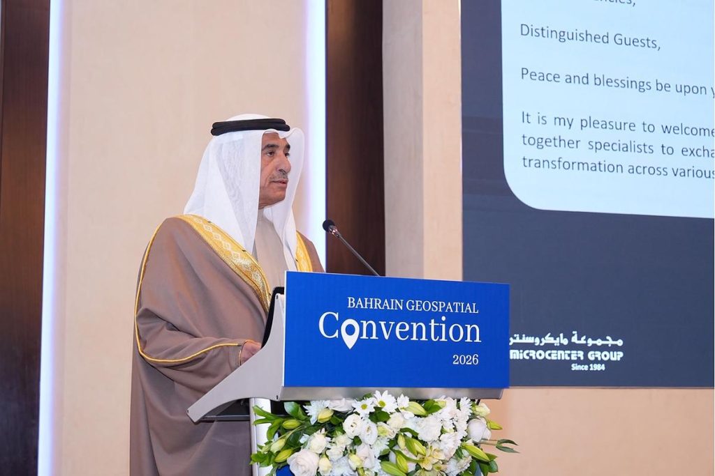
In his opening address, His Excellency Engineer Basim bin Yaqoub Al Hamer emphasized that geospatial information systems have become a pivotal tool in supporting decision-making, improving planning efficiency, and advancing government services. He noted that the Survey and Land Registration Bureau continues to implement strategic projects aimed at developing the national geospatial infrastructure, including the development of national 3D maps and the establishment of unified digital platforms to integrate geospatial data with government systems, thereby enhancing the efficiency of land and real estate management.
In this context, His Excellency announced the launch of the Geospatial Platform, an integrated digital platform designed to unify and facilitate the exchange of geospatial data among relevant entities. The platform enables broader access to accurate information and allows all stakeholders to effectively utilize geospatial data in strategic decision-making processes and in supporting digital transformation pathways.
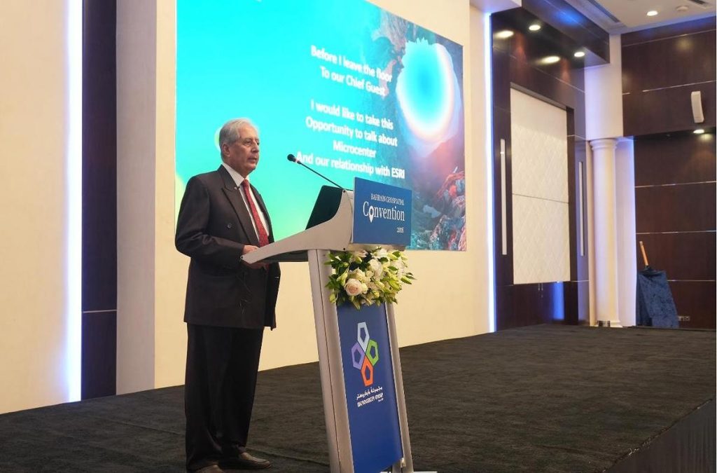
For his part, Dr. Ghuloom Baqer, Chairman of MicroCenter, stated that the conference serves as an advanced platform for knowledge exchange and for strengthening cooperation among specialists from government and private entities, as well as global partners. He highlighted the applications of geographic information systems in vital fields such as Building Information Modeling (BIM), licensing, construction monitoring, e-government, environmental sustainability, and the telecommunications sector. He also affirmed that the Kingdom of Bahrain has been a pioneer in adopting GIS technologies to support digital transformation and improve public services.
Dr. Baqer further noted that the Survey and Land Registration Bureau has achieved significant progress in developing geospatial capabilities through high-impact initiatives, while the Electricity and Water Authority has contributed to enhancing the management of utilities infrastructure and assets through the implementation of advanced GIS-based systems.
Meanwhile, Mr. Mohammed Issa, Regional Director for Central Asia and the Middle East at Esri, confirmed that the company is a global leader in geographic information systems and provides the ArcGIS platform as an integrated ecosystem that leverages spatial intelligence to address complex challenges and support decision-making.
He added that Esri’s participation reflects its longstanding presence in the Gulf region since the establishment of its first regional office in the Kingdom of Bahrain in 1997. He also pointed to the notable progress achieved by the Survey and Land Registration Bureau in developing geospatial capabilities through qualitative initiatives, reflecting a forward-looking institutional vision that supports digital transformation.
The conference features specialized sessions and presentations showcasing the latest practical applications of geographic information systems and how they can be utilized in areas such as e-government, urban planning, infrastructure, and environmental sustainability. It also highlights local and international experiences in integrating geospatial technologies with modern digital solutions.
A number of government and academic entities are participating in the conference, including the Survey and Land Registration Bureau, the Information & eGovernment Authority, the Electricity and Water Authority, the Bahrain Space Agency, and the Arabian Gulf University, in addition to international companies specializing in this field. This participation underscores the importance of the conference as a platform for knowledge exchange, partnership building, and supporting the Kingdom’s direction toward establishing an integrated geospatial ecosystem that contributes to achieving sustainable development.